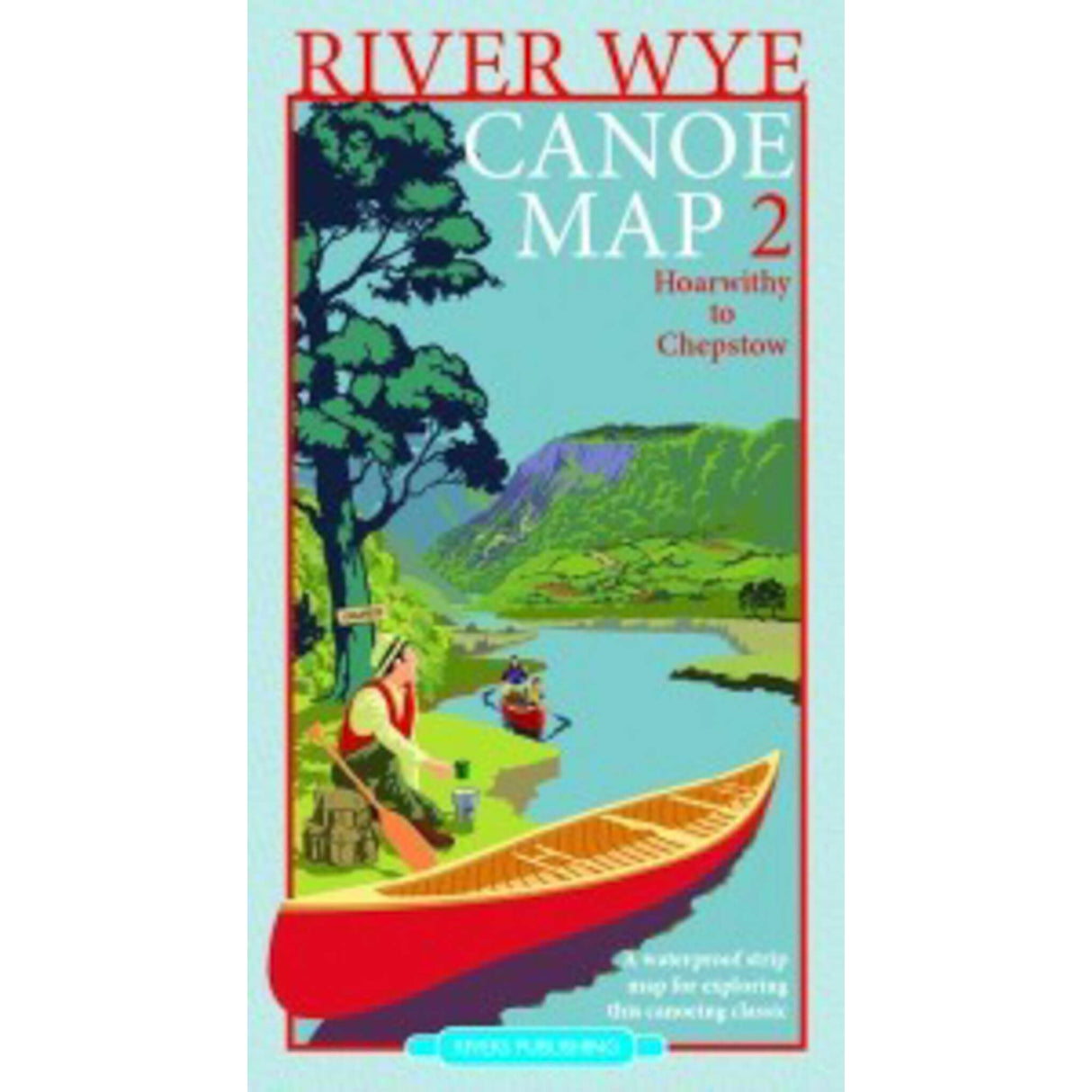
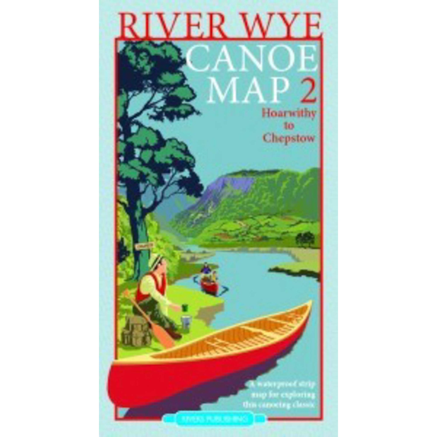
River Wye Canoe Map 2
Couldn't load pickup availability
Description
Description
Map Two - Hoarwithy to Chepstow
This strip map is for anyone wanting to explore the River Wye by canoe or kayak and is packed with lots of useful information. Designed by canoeists for canoeists, it is very much a “hands onâmap – waterproof and easy to use whilst paddling down the river – it even floats! It shows all the essential paddling tips and hints, including get in and out ramps, camping spots and pubs.
The map is clear to read at a large scale of : 1:36,000.
If you combine it with map two then you will have all of the 161km of the most popular canoeing stretch of the river from Glasbury to Chepstow. This is a "strip map" - split into 4 convenient sections, with each map showing the river and the countryside on each side of the river.
The base map uses OrdnanceSurvey geodata which has been edited and enhanced to show all the essential information you should need on your trip. It shows, roads, towns, villages, footpaths, rivers, streams, lakes, churches, farms, houses woods and hills. Physical relief is shown with a contour interval of 10m.
Canoeing information is highlighted with colour boxes and symbols to show recommended launch sites, rapids, campsites, pubs, cafes and canoe hire bases. There are very brief guidance notes to help you when paddling on the river Wye and essential information for key rapids like at Symonds Yat. If you are planning a multi-day trip down the Wye or even to run the entirety of it then you need this map to help you plan!
Features
Features
Delivery Table for Mainland UK*
| Service | Order Value Under £50 | Order Value £50 or Over | Shipping Description |
| Royal Mail 2nd Class Tracked Post | £4.95 | £0.00 | Delivery usually between 3-5 working days for orders placed before 2pm. |
| Royal Mail 1st Class Tracked Post | £7.95 | £3.00 | Delivery usually between 1-3 working days for orders placed before 2pm. |
| Express Service |
£12.45 |
£7.50 |
Delivery usually between 1-2 working days for orders placed before 3.30pm. |
*The following postcodes are classed, by carriers, as NOT being mainland UK:
AB, IV, HS, KW, ZE, IM, GY, JE, PO30-41, KA27-28, PA20-38, PA41-49, PA60-78, PA80, PH17-26, PH30-44, PH49-50, TR25-25 and BT.
Delivery surcharges up to £7.00 may apply on Express Service to these areas.
Shipping charges will be calculated at the checkout once your postcode is entered.
Please note that deliveries to remote areas may take slightly longer.
For full details and Terms and Conditions please click here
You may return an item for refund or exchange up to 30 days after receipt, as long as it hasn't been used or damaged, is still in its original packaging and/or has original labels still attached. Please complete our returns form and send this, together with the item, to the address on the form. Please note that unless the item is faulty or we had supplied the wrong item, you are responsible for the cost of return. Refunds will be made using the same method as the original transaction. If you opt for enhanced shipping, that charge is not refundable.
Custom-made or personalised items are not refundable unless they are defective.
See our full returns policy for more detail, including a link to our returns form and returning faulty items.
